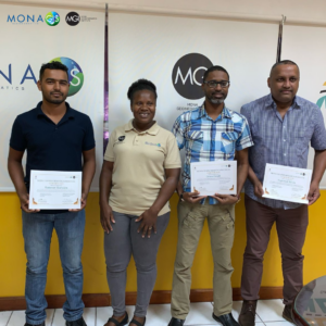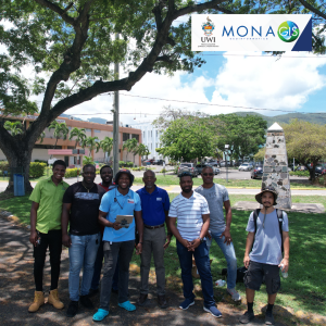
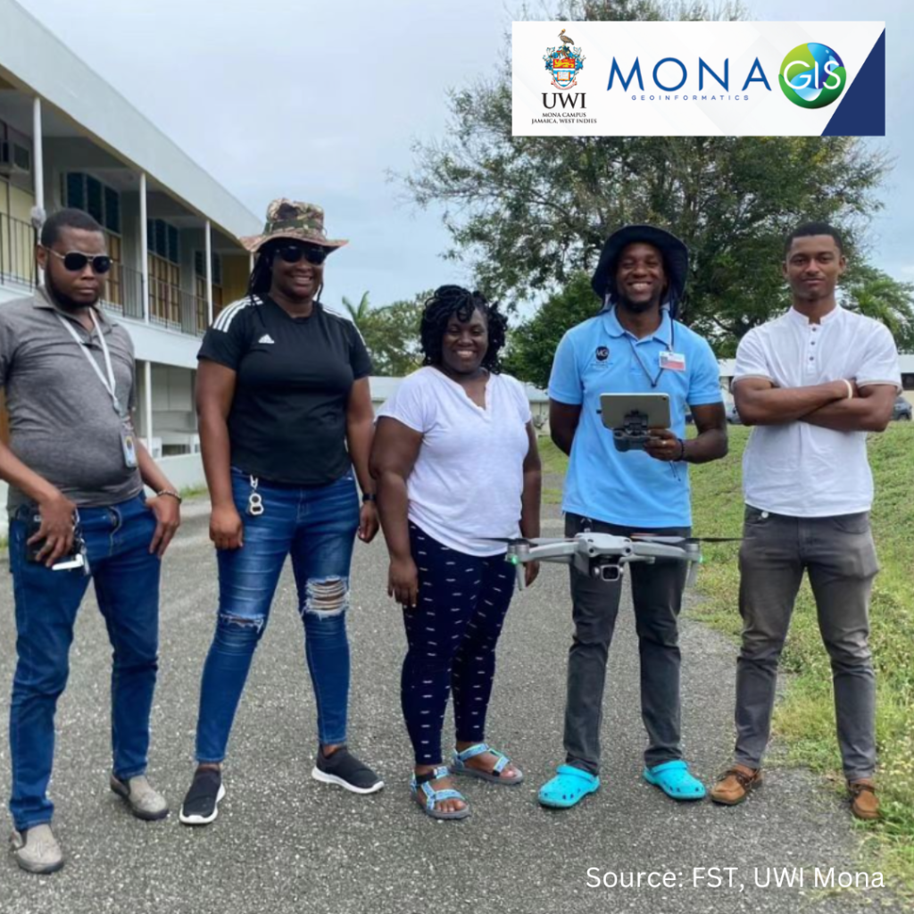
The Mona Academy of Science and Technology (MAST) at the Faculty of Science and Technology (FST), UWI Mona and The Mona GeoInformatics Institute (MGI) Drone Technologies training was a HUGE success!

Some key areas of drone application include: Urban planning, Disaster management, Precision Agriculture, Photography and General Mapping. The incorporation of drones into your workflow can be cost-effective, it provides access to areas that would be otherwise difficult to access and improves flexibility in data collection techniques.
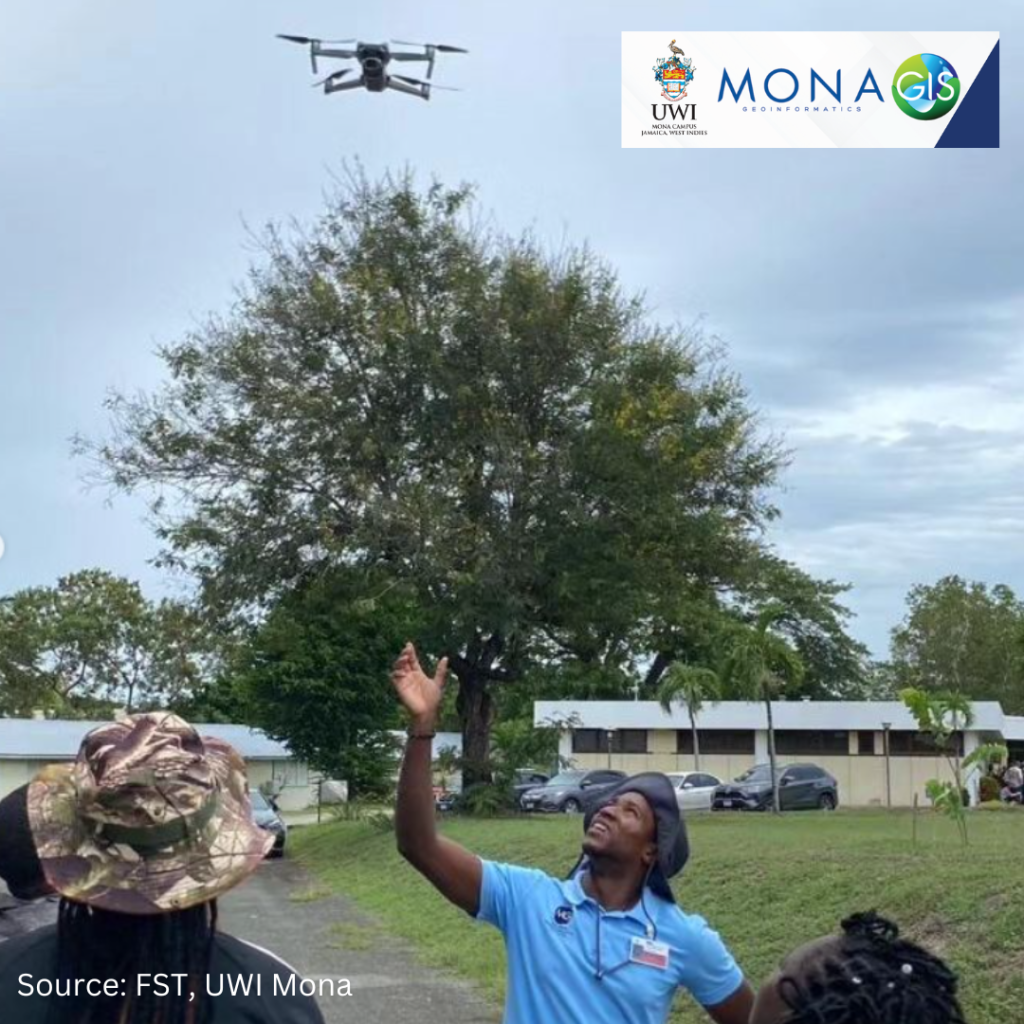
MGI has emerged as one of the leaders in the use and application of drone technology, and drone training in the Caribbean region.
MGI continues to work with The University of the West Indies Mona Campus to build capacity in this and many other areas.
MGI provides drone training to the wider public. Sign up here: https://main.monagis.com/gis-training or see link in bio if you are interested.