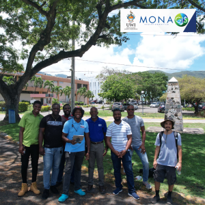
The Mona GeoInformatics Institute (MGI) recently met with professors from Missouri State University in Treasure Beach, Jamaica, to learn more about their ongoing project aimed at utilizing drones for high-resolution flood risk mapping. This initiative seeks to better assess storm surge and inland/pond flood impacts in Treasure Beach, St. Elizabeth, Jamaica.

The project faces several challenges, including a lack of proper hydrological and geological information for accurate flood prediction, insufficient land use or construction regulations to reduce vulnerability, and inadequate community capacity to support early warning systems and flood response actions in Treasure Beach.

Unmanned aerial vehicles (UAVs) are being employed to collect high-resolution elevation data of the land surface, creating accurate flood maps to aid community planning efforts in reducing flood risk and preparing for future floods.

MGI has a long history of providing advanced environmental and hazard mapping and modeling services using one of Jamaica’s largest GIS datasets. These services include terrain modeling, coastal hazard mapping, hazard analysis, modeling and simulation, and hydrodynamic models. Over the past five years, MGI has also developed its capacity in UAV products and services, and thus, welcomes this opportunity to both share and gain knowledge.
Stay connect with MGI:
Email: info@monainformatixltd.com
Web: www.monagis.com
Phone: (876) 977-3161-2
WhatsApp: (876) 388-9097