Site Suitability Desktop Analysis - Creation of Static Customised Maps (*.jpeg & *.pdf)
Examples of input datasets: Soils, rivers, watersheds, protected areas, major crimes, hotels, schools, police stations, floods, landslides, protected areas etc or any other client asset or assets contained in MGI’s database.
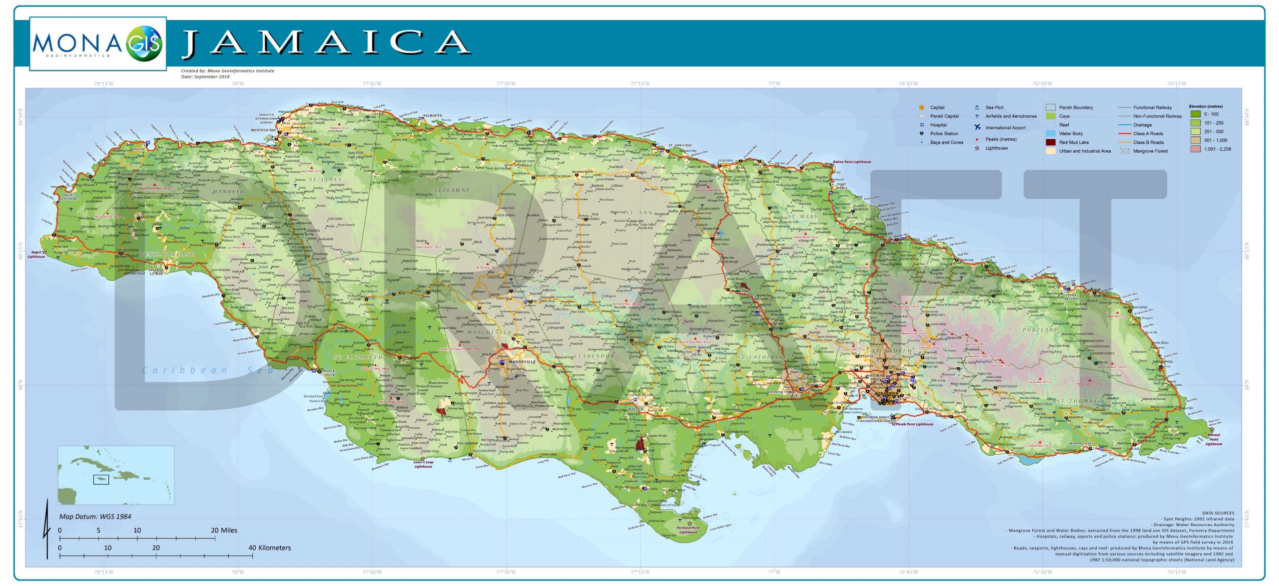
Overview: MGI can create static maps in *.jpeg or *.pdf format for use in reports and other documents. As base files, the map generally will include at no additional cost major rivers, major roads, settlements and parishes. Clients can select from the data inventory in Table 1 and these can be added to the customized static map. MGI also has premade poster maps that can be printed for framing and mounting.