MGI Collaborates with Missouri State University on Flood Risk Mapping Using Drones

The Mona GeoInformatics Institute (MGI) recently met with professors from Missouri State University in Treasure Beach, Jamaica, to learn more about their ongoing project aimed at utilizing drones for high-resolution flood risk mapping. This initiative seeks to better assess storm surge and inland/pond flood impacts in Treasure Beach, St. Elizabeth, Jamaica. The project faces several […]
MGI’s Successful Collaborative Drone Training with FST, UWI Mona
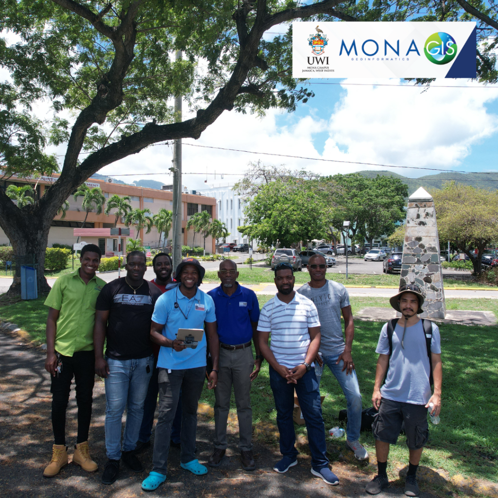
The Mona Academy of Science and Technology (MAST) at the Faculty of Science and Technology (FST), UWI Mona and The Mona GeoInformatics Institute (MGI) Drone Technologies training was a HUGE success! Some key areas of drone application include: Urban planning, Disaster management, Precision Agriculture, Photography and General Mapping. The incorporation of drones into your workflow […]