MGI Maps States of Public Emergency in St James, Clarendon, Hanover and St Catherine
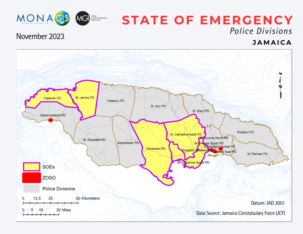
The Mona GeoInformatics Institute (MGI) crime mapping services are important in analyzing and displaying the patterns of crimes across Jamaica. MGI has been mapping and analyzing the patterns of crime in Jamaica for over 15 years. This map, developed by MGI is a geographic illustration of the current States of Public Emergency (SOE) across several […]
MGI Illustrates Widespread Floods and Landslides in 2023!

A comprehensive geographic illustration by the Mona GeoInformatics Institute (MGI) of the recorded floods and landslides, as a result of the recent severe weather system that swept across Jamaica last week. Floods are represented by the blue dots and landslides are represented by red dots on the map. This map also encapsulates the cumulative data […]